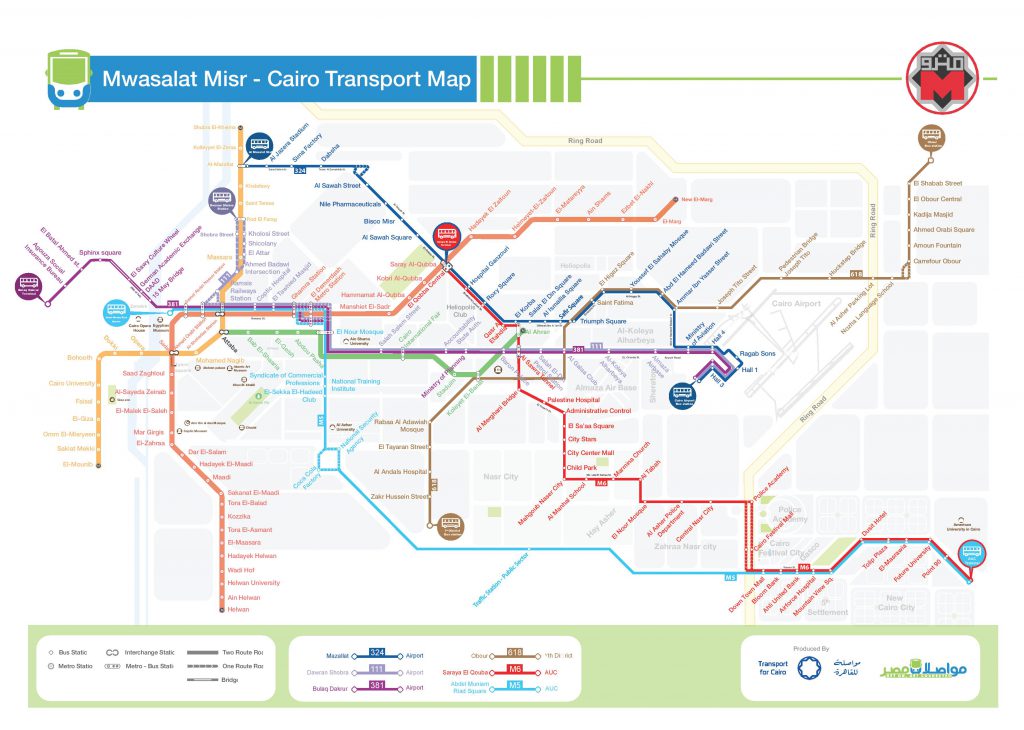
The and Transport for Cairo (TfC) with TUMI’s support developed the Global NDC Template for Popular Transport to formally recognize the emission reduction potential of and integrate these services into .
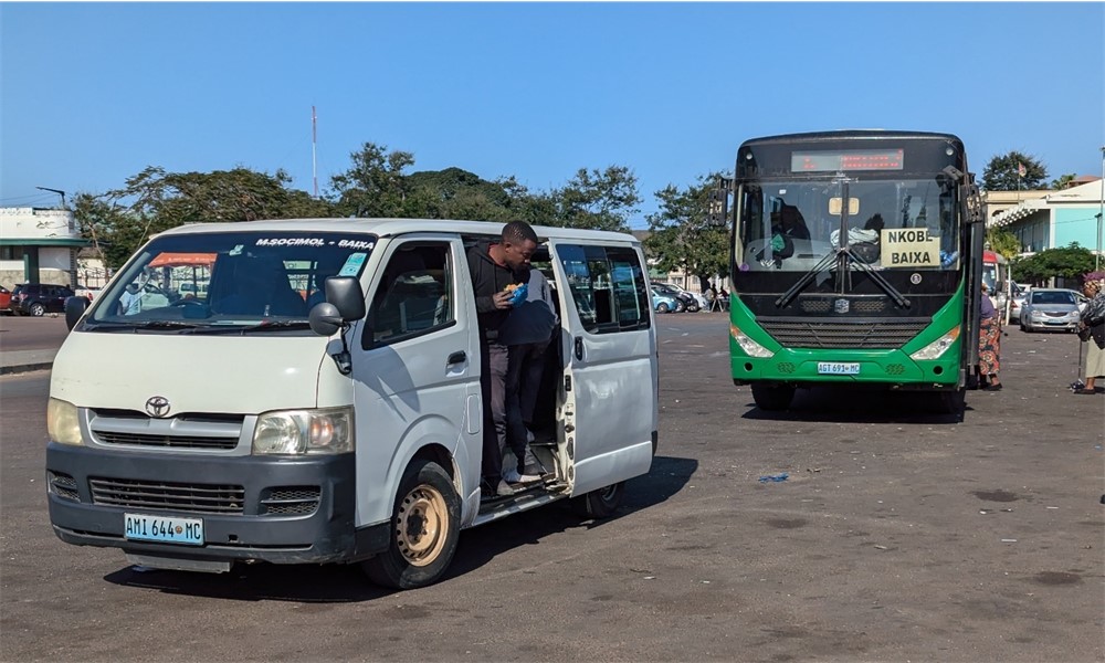
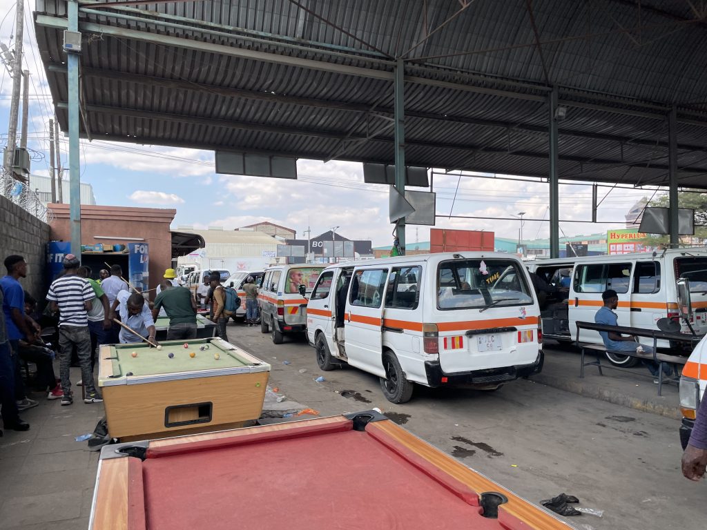
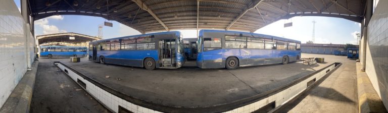
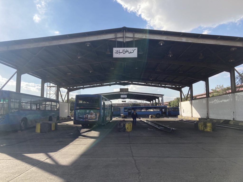
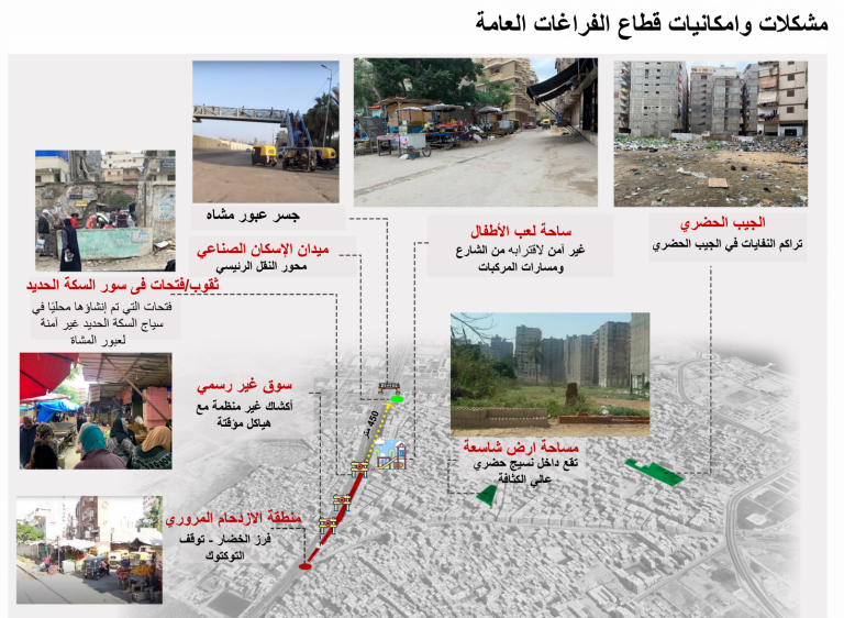
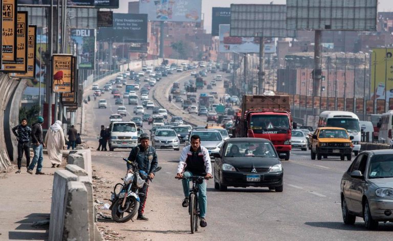
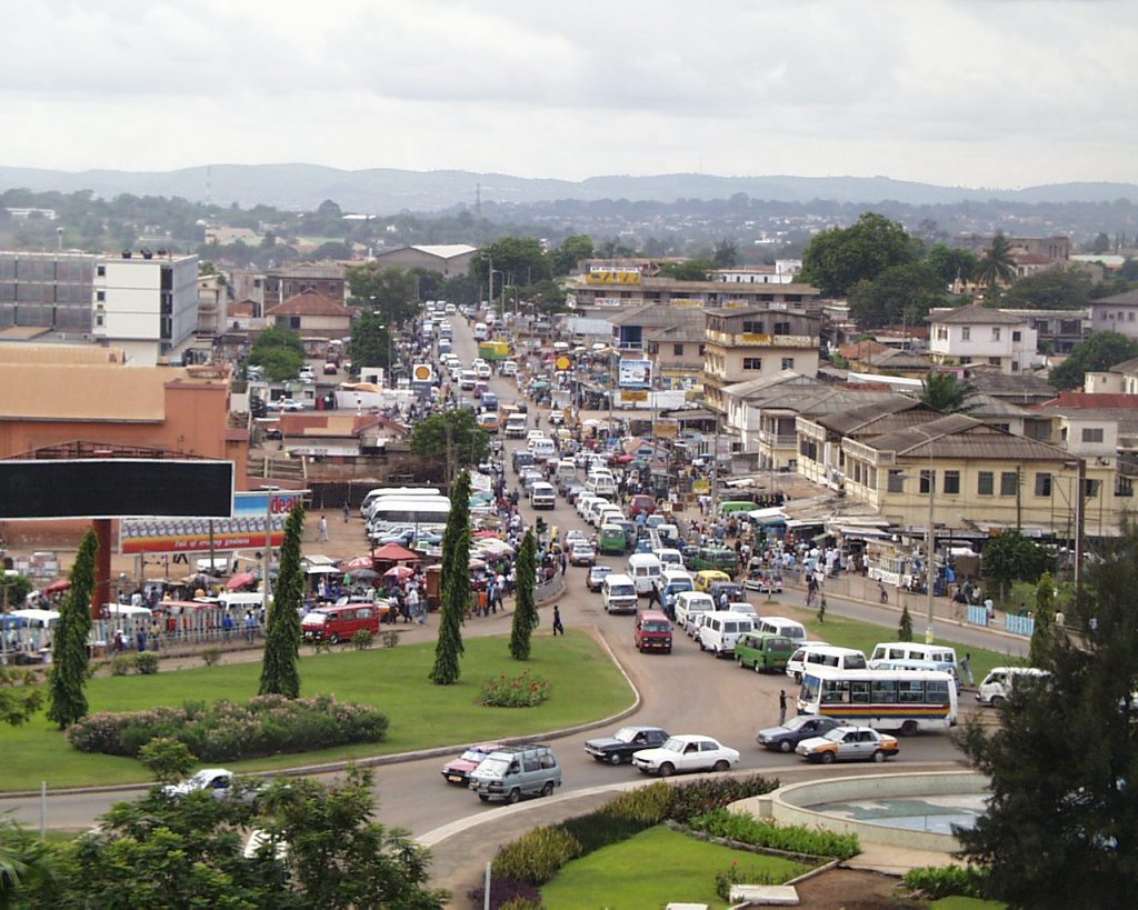
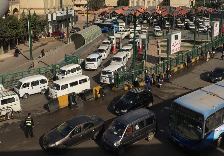
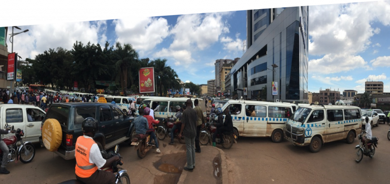
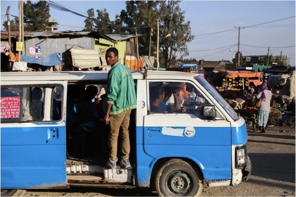
, which are publicly provided, but privately operated, emerge in nearly every fast-growing city in low- and medium-income countries. While mini- and microbuses are the most used popular transport modes in Africa and Latin America, two-and three-wheelers, including tuk-tuks and motorcycles, are prevalent in Asia.
The template highlights the untapped potential of popular transport for reducing greenhouse gas emissions, improving resilience, and supporting just transitions. By including actionable strategies, case studies, and recommendations, the template aims to foster sustainable mobility systems while addressing social equity and climate goals. It complements existing Transport NDC frameworks for , and .