Paratransit and street usage study: Kampala
Video feed analysis for traffic count and machine learning algorithms were blended to describe Kampala's road network
The challenge
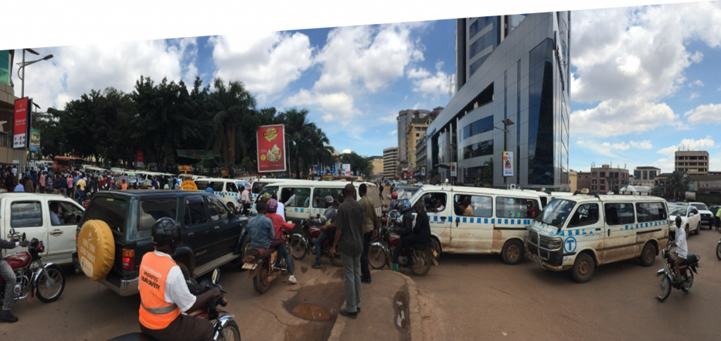
Movement in Kampala, Uganda’s capital and home to 1.5 million citizens, is no simple chore.
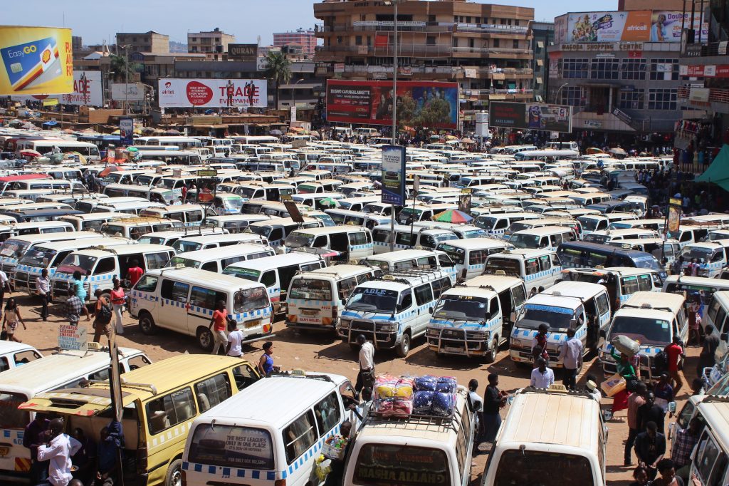
On an average day, two thirds of trips are completed by privately operated taxis or Matatus; while the majority of the remaining trips are provided by motorcycles or “Boda Bodas”. The former are 14 seater microbuses, and the latter are motorcycles operating privately. At the time of the project, none of these modes were regulated. In addition, of the 2,100km road network on which they operate, only 500kms were paved. Even though the Kampala Capital City Authority is currently paving its roads, the lack of transport regulation resulted in an over-supply in the paratransit sector causing daily traffic congestion, business losses and immobility all over the city.
Over the course of a year, Transport for Cairo has been working on a paratransit and street usage study in preparation for the Bus-Rapid Transit (BRT) pilot project system. The BRT system is envisioned by the government to help alleviate congestion in the Greater Kampala Metropolitan Area (GKMA).
The process
For 10 weeks, the TfC team mapped the public transport network, and provided the operational data necessary to understand the paratransit services in the GKMA area. Through Route Observer (RO), a mobile app developed by TfC, we collected a total of 3200 hours of data points on 1492 trips and 587 routes all over the GKMA. The first steps included using both the data collected during the pilot mapping and secondary sources in order to identify origin and destination points.

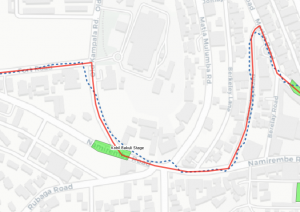
Then using Route Snapper, a software developed in-house by TfC, incoming raw traces are processed in batches and migrated to the “Processed Trips” layer in the database.
Today
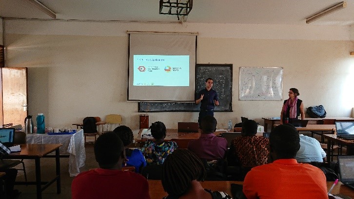
Because we know the value of capacity building, we partnered up with World Resource Institute (WRI) and conducted an OpenStreetMap workshop (Mapathon) last January at Makarere University, College of Engineering Design Art and Technology. We worked to raise awareness towards the need for a data management system that can be maintained by locals in order to achieve the most sustainable results in the long run. In collaboration with WRI, the aim of the workshop was to build capacity for students and fresh graduates working with Open Data and OpenStreetMap and to raise awareness on the impact of such platforms and concepts on society. Presenters from Addis Ababa Transport Authority and Accra Ghana talked about their experience in independent data creation and storage. The workshop also incentivized participants to become contributors and active members of their relevant local mapping communities, owning the process of creating and maintaining the data.