
Cairo & Beyond
We've been directly responsible for mapping over 10 African mega-cities public transport networks. Additionally we provided technical assistance to partners in East Asia using our tools to accomplish the same.
Open Data, Open Software
Our Data Lab utilizes Free and Open source Software tools (FOSS) such as QGIS and OpenTripPlanner, as well as open data sources, to create the knowledge products and do the work we do. We make sure we give back to the community by openining the datasets we collect ourselves, and the software tools we develop.
Context Aware
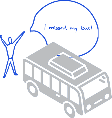
Our team experiences the city firsthand as daily public transport users who know the local context and language. This lived experience shapes how we design data systems, conduct analyses, and deliver technical work that truly reflects the realities on the ground.

Abdelrahman Melegy

Moataz Mahrous

Hazem Fahmi

Sarah Salem

Developing Climate Policies to Decarbonize Transport
![[62]_GNPT_report_cover-01](https://transportforcairo.com/wp-content/uploads/2024/11/62_GNPT_report_cover-01-768x994.jpg "[62]_GNPT_report_cover-01")
Global NDC Template for Popular Transport

Low Carbon Transport Futures in Zambia
Data, Surveys & Modelling, Formalisation & Professionalisation, GIS/GTFS & Databases, Informal & Paratransit Integration, Institutional Strengthening & Capacity Building, Integration with Format Transit, Stakeholder Engagement Processes, System Mapping & Data, Travel Surveys & Field Data, VisualisationLow Carbon Transport Futures in Zambia

Digital Transport for Africa – Technical Support for Cities to go Beyond Mapping
Capacity Development Programmes, Data, Surveys & Modelling, GIS/GTFS & Databases, Informal & Paratransit Integration, Institutional Strengthening & Capacity Building, System Mapping & Data, Travel Surveys & Field Data, VisualisationDigital Transport for Africa – Technical Support for Cities to go Beyond Mapping

Using New Urban Mobility Data in Accessibility Analysis – NUMO
