Digital Transport for Africa – Technical Support for Cities to go Beyond Mapping
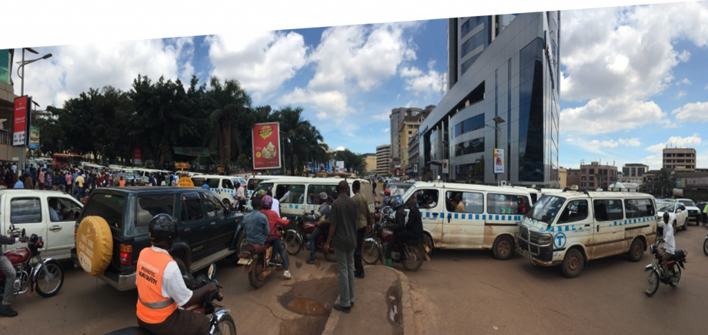
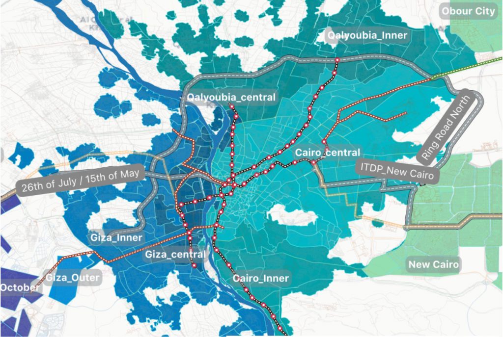
– Themes Country Client DigitalTransport4Africa with funding from French Development Agency (AFD) and leadership of World Resources Institute (WRI) have tasked Transport for Cairo (TfC) to provide technical support for selected African cities to go “Beyond mapping”. The exercise consisted of (a) assessing and choosing an African city to provide technical support, and (b) define […]
Digital Transport for Africa – Technical Support for Cities to go Beyond Mapping Read More »