System Mapping & Data

Deliver a comprehensive mapping and data framework for informal and paratransit systems, combining on-the-ground surveys, digital tools, and advanced modelling to produce an accurate and actionable picture of current operations.

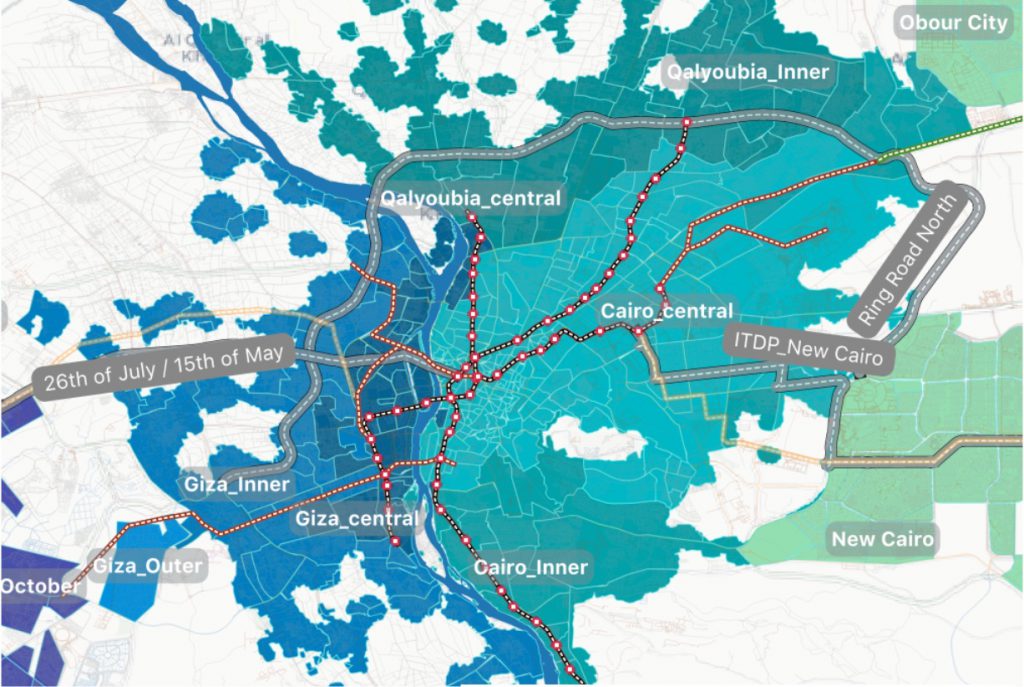
Greater Cairo Region Mobility Assessment and Public Transport Improvement Study

The study proposes public transport investment projects to improve efficiency and environmental footprint of the region’s economy. It will also address inclusiveness challenges by providing safer, more reliable, and more comfortable experience for all and especially women, vulnerable groups, and people with special needs. 

Greater Cairo Region Mobility Assessment and Public Transport Improvement Study Read More »

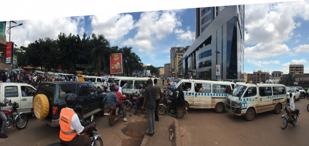
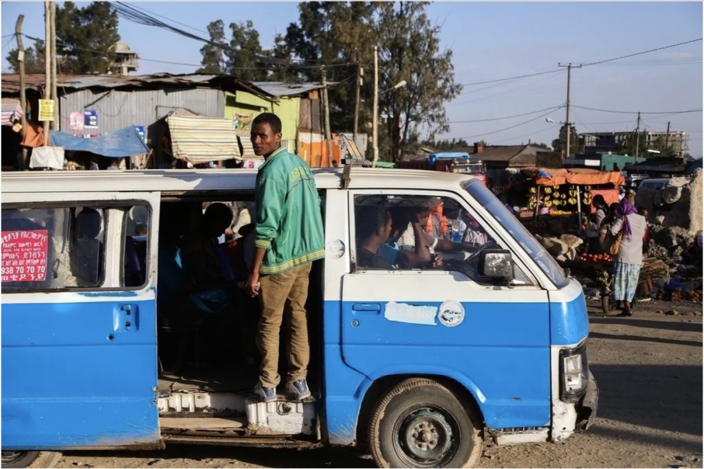
Paratransit and street usage study in preparation for the BRT pilot project in GKMA

In 2019 AFD commissioned us to conduct a study map the public transport network of Greater Kampala Metropolitan Area (GKMA). In 10 weeks we collected the data  using our Route Observer application, observing 1492 trips and 587 routes operating out of Matatu stages across GKMA. Video feeds were used for traffic counts and machine learning

Paratransit and street usage study in preparation for the BRT pilot project in GKMA Read More »

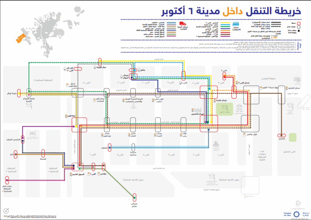
6th of October Transit Map

6th of October Transit Map is Here! We are excited to be sharing with you the first ever transit map for the city of 6th of October, Egypt in both English and Arabic.Navigating Cairo can be difficult, and correct information is not easy to come by. 3 years ago, TfC started out with the goal

6th of October Transit Map Read More »

Digital Cairo

Expo Live supports the Digital Cairo consortium as part of a cohort of projects and solutions from around the world whose solutions generate social and environmental value and are in line with Expo 2020 Dubai’s subthemes of Opportunity, Mobility and Sustainability. Expo Live will harness the convening power of a World Expo to demonstrate how

Digital Cairo Read More »