Data & Analytics
Data Collection, Surveys & Modelling
Data Collection, Surveys & Modelling
We design and maintain robust geospatial and tabular databases that ensure transport-related datasets are stored, organised, and managed with consistency and efficiency.
Our work spans the full data lifecycle—from acquiring and transforming information from multiple sources, to merging disparate datasets into unified formats optimised for analysis, modelling, and integration with GIS and GTFS systems.
At Transport for Cairo, we are committed to an open data policy. Explore our database through the data portal below.
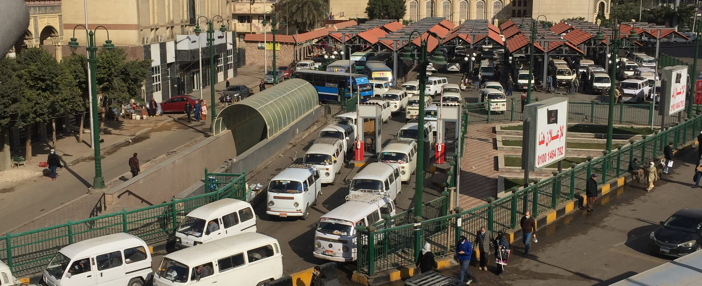
Informal & Paratransit Integration
Informal & Paratransit Integration
We deliver a comprehensive mapping and data framework for informal and paratransit systems, combining on-the-ground surveys, digital tools, and advanced modelling to produce an accurate and actionable picture of current operations.
Project Feasibility, Design & Implementation Support
Project Feasibility, Design & Implementation Support
From BRT systems to Urban Rail, we assess projects feasibility and designs with demand, economics, and concept engineering coordination.
Relevant Projects
Relevant Publications
We'll help you map out a complete view of mobility in your city!
Whether you’re a city authority, a community partner, or simply passionate about transport, we’d love to hear from you.