
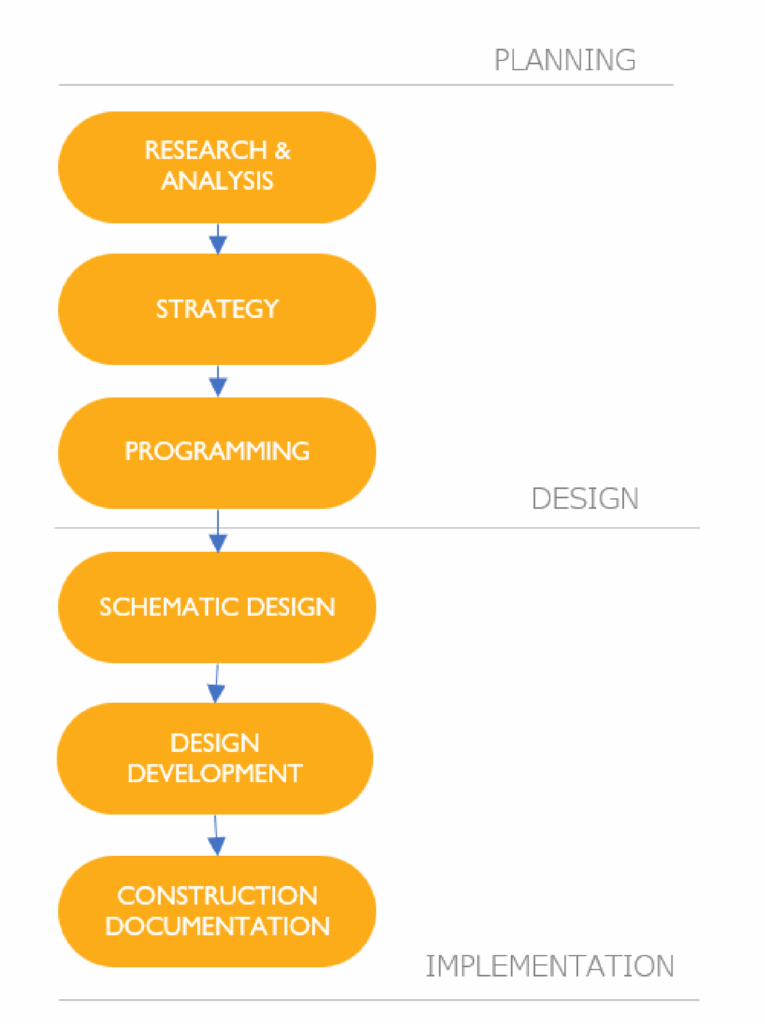
Passenger Information & Experiences
We help people find their way 
Getting around mega cities like Cairo can be a challenge, especially with no reliable data out there. This is why, Transport for Cairo is working on making transit data available to everyone.
Besides the digital mapping, we work on creating various transit Maps, signage, wayfinding, travel guides & network information systems that help people navigate through the different transportation systems.
Network Information Systems
A typical passenger or network information system provides essential guidance to help users navigate the transit network with ease. While components may vary based on local context and facility requirements, standard stations should generally include the following:
Network maps shows an overview of the public transport lines. Those could include individual operators such as the metro or multimodal networks of different modes.
In 2021, Transport for Cairo redesigned the city’s first official underground network map under the rebranding and redeployment of Cairo Metro Line 3 through RATP-Dev Cairo (RDMC) had commissioned TfC.
Line Maps/Directional Signages highlight specific routes and directions inside vehicles or platforms for the users to navigate the systems easily.
In 2025, TfC supported RATP Dev in redesigning the cities local bus passenger information systemsby introducing clear wayfinding elements, including line maps & neighbourhood maps
Neighbourhood Maps
A displays the local area around the stops or stations including nearby streets, points of interest and walking paths.
In 2022, TfC supported RATP Dev Mobility Cairo in designing the cities first Light Rail Transit (LRT) passenger information systems.
Information Boards
Information Boards combines key information (eg. rules, schedules or fares) in a single static display at stations or stops to support informed travel decisions

Public Transport Maps
TfC's work in passenger information systems began with a pioneering initiative to map the popular & formal transport network of 6th of October City in Greater Cairo.

Our design process starts with...

Data Collection →
We collect raw data from multiple sources, including GPS tracking, passenger surveys, and on-the-ground fieldwork. Read more on our data-lab works here
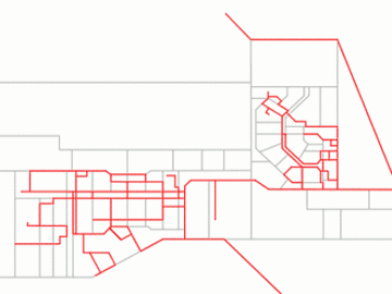
Network Analysis →
The raw data is cleaned, filtered, and analyzed to identify unique routes, stops, and connections, ensuring that the network reflects the way people actually move.
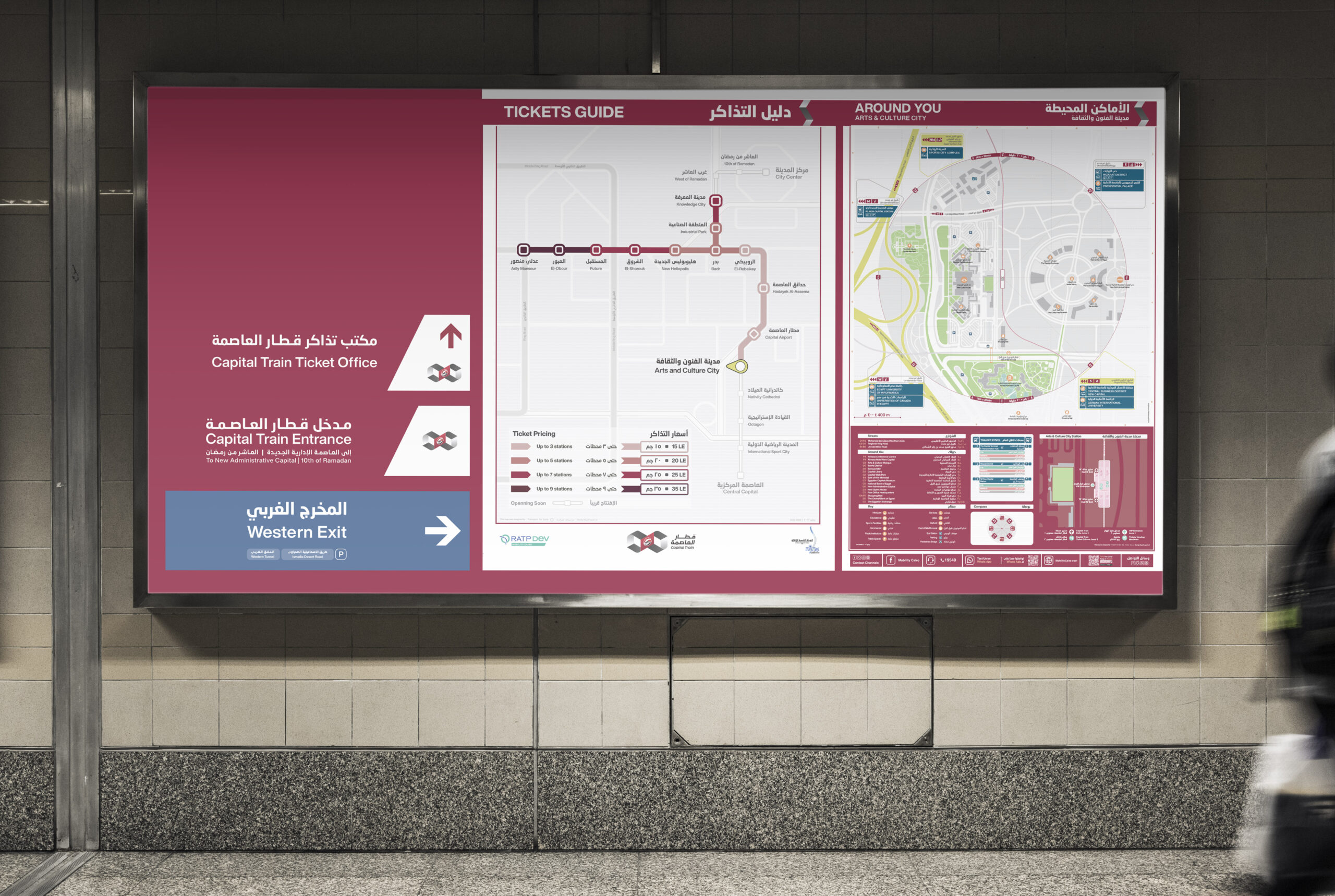
Map Design
Using this structured network, we design clear, user-friendly maps that translate complexity into visuals passengers can easily understand and navigate.
We designed several maps for Africa: Check them out!

Information & Travel Guides
We design user-centered information materials that simplify access to sustainable mobility. From citywide transport guides to localized walking maps, we help passengers navigate urban environments confidently and consciously
We focus on delivering digitally enabled guides that expand user knowledge and foster targeted awareness.
Awareness Focused
Network Level Information
Local Level Information
Beyond Mobility
Digitally enabled
Check out our COP27 sustainable digital guide for Sharm El Sheikh delegates

Wayfinding Systems
We deliver end-to-end wayfinding services, grounded in research and driven by design
From assessing circulation flows and user needs to defining signage strategy, typology, and message hierarchy, our team leads both the strategic and creative process.


Check out more on our portfolio!
We'll help your cities move easier.
Whether you’re a city authority, a community partner, or simply passionate about transport, we’d love to hear from you.